Monthly Archives: September 2015
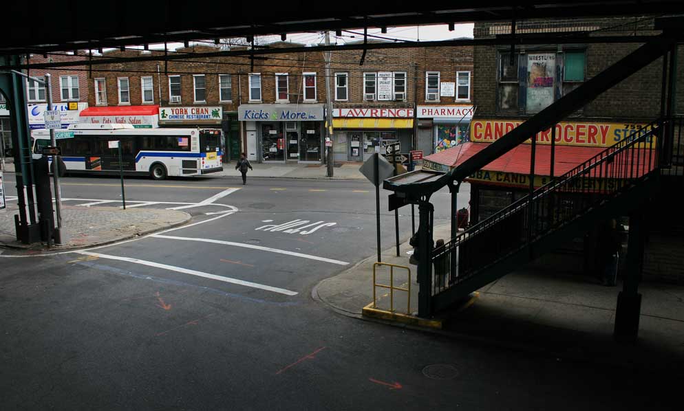
46. NEW YORK ON FOOT. East New York, Brooklyn. East New York is in Brooklyn, West New York is in New Jersey, Long Island City is in Queens, but Brooklyn and Queens are on Long Island. And Brooklyn’s landmark Williamsburg Savings Bank is in Fort Green, not Williamsburg.
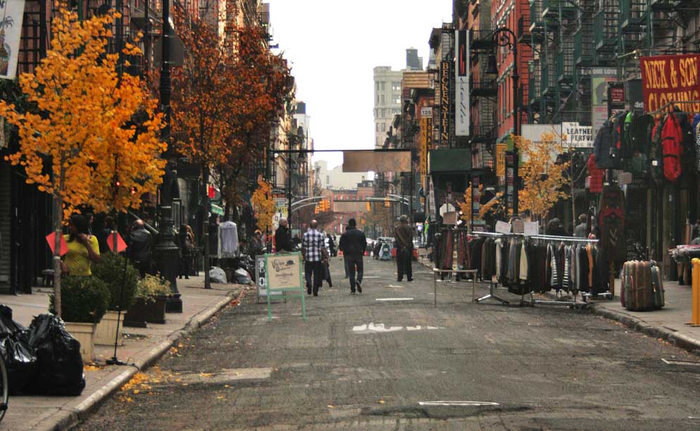
45. NEW YORK ON FOOT. Lower East Side. Although gentrification is on everybody’s lips, “Loisaida” is still a gritty neighbourhood.
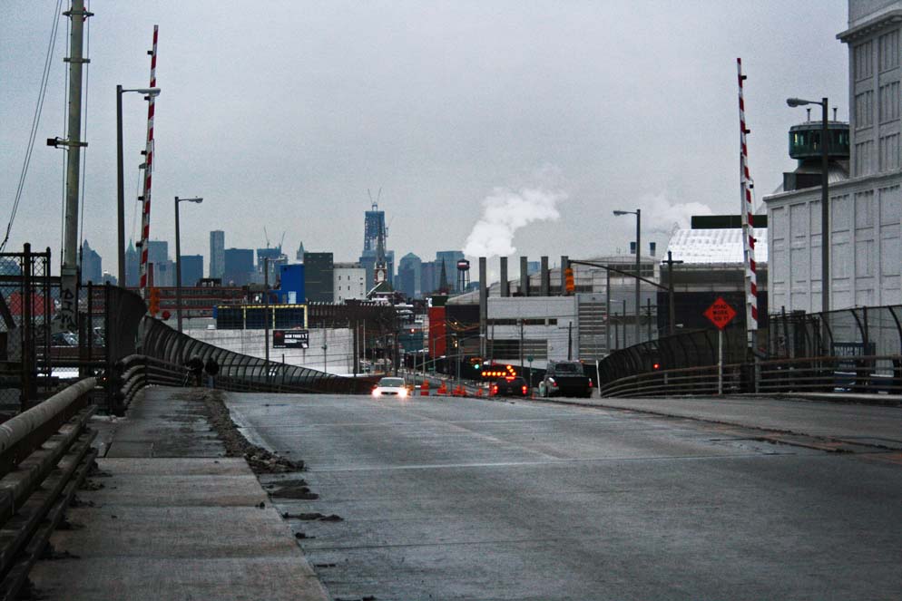
44. NEW YORK ON FOOT. Greenpoint Avenue Bridge. A drawbridge on Newtown Creek. On the Queens side it lands in a place technically named Blissville, although I suspect most would consider it Sunnyside. Northern Brooklyn in the background. One of those iconic north Atlantic grey days that puts one in mind of wintertime London.
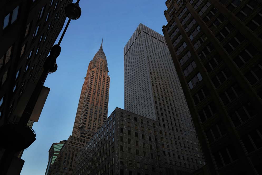
43. NEW YORK ON FOOT. Midtown Manhattan. The Chrysler Building, still the tallest brick building in the world. Brick absorbs light much like stone does, so the Chrysler constantly changes with the moods of the sun.
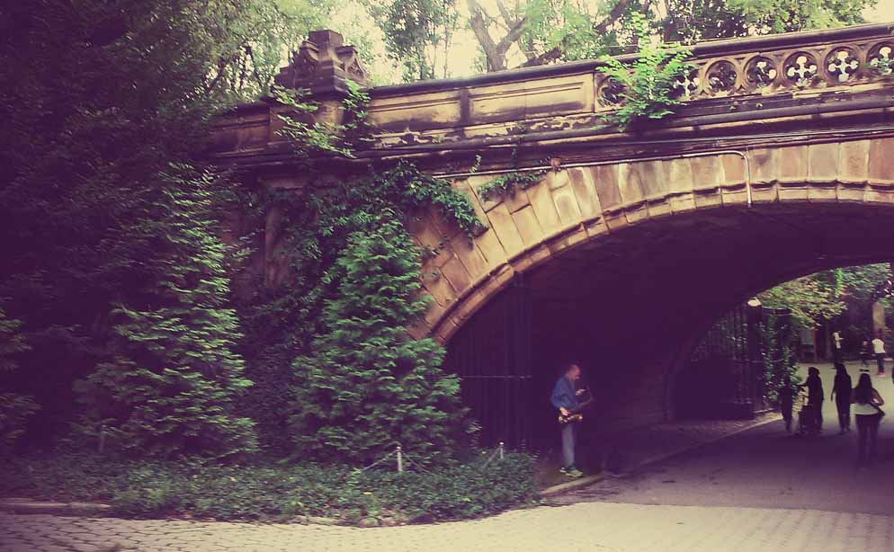
42. NEW YORK ON FOOT. Central Park. This is how the media world has changed. This photo was taken on a cell phone, and a “look” was applied. In other words, two buttons pushed on a handheld device to create something that ten years ago would have taken time and motion in a darkroom, not to mention $75 in supplies.
41. NEW YORK ON FOOT. The Bronx. Looking southeast from the Third Avenue Bridge. The green metal structures to the left are the Triborough Bridge, the tan structure before that is the Willis Avenue Bridge. 13 bridges cross the Harlem River between upper Manhattan and the Bronx (a distance of only 8 miles).
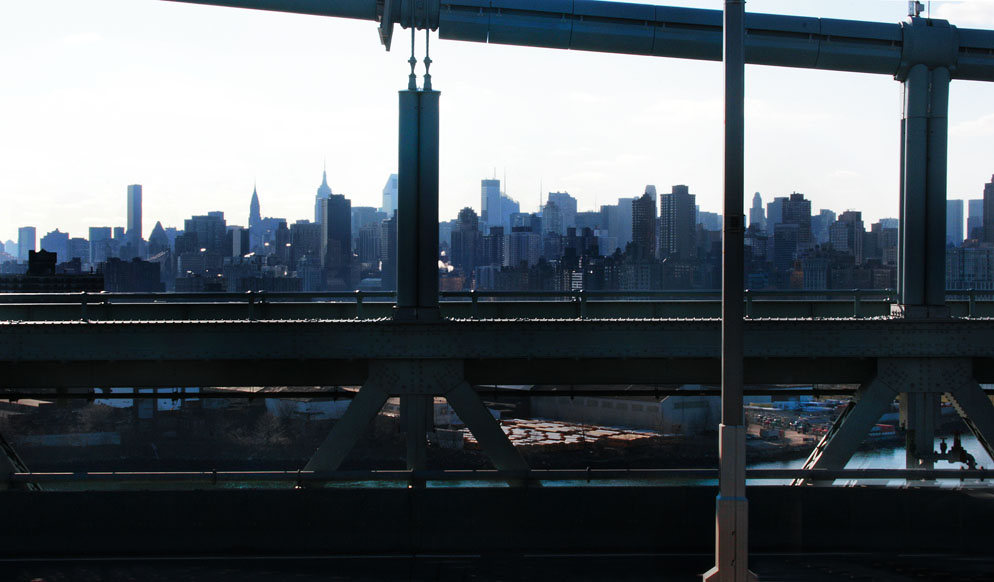
40. NEW YORK ON FOOT. Triborough Bridge. So named because it spans three boroughs: Queens, the Bronx and Manhattan. Its construction began on Black Friday, 1929. Since 2008 its official title has been the Robert F. Kennedy bridge.
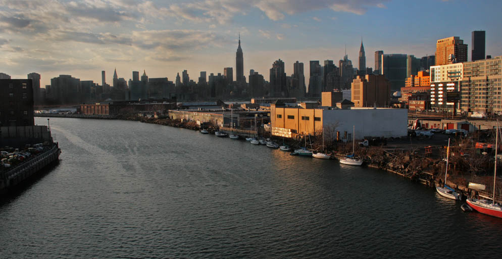
39. NEW NORK ON FOOT. Newtown Creek. The creek forms a border between Queens and Brooklyn (Greenpoint is on the left, Long Island City on the right). It is a natural estuary that became a busy industrial canal in the second half of the 19th century. Taken from the Pulaski Bridge looking west toward Manhattan, with the East River barely visible in the mid ground.